
Lauderhill ZIP Coverage
The official City Basemap ZIP layer contains five values that touch Lauderhill. “Serves Lauderhill” does not mean that the whole polygon lies within the city. Layer 53 contains two separate 33313 shapes and only a small 33312 piece. The local map is therefore more precise than a general postal-city list.
| ZIP | Lauderhill area | Post office | Local note |
|---|---|---|---|
| 33319 | West and central-north, including Inverrary | Inverrary Post Office | Core western overlap |
| 33313 | Central, south, and east | Not verified | Main and small polygons |
| 33311 | East, West Ken Lark, and US 441 | Not verified | Eastern overlap |
| 33351 | Northwest, Cascades, and Heron Landing | Not verified | Postal city may read Tamarac |
| 33312 | Tiny edge sliver | Not verified | Not a core Lauderhill ZIP |
No official dated ZIP split, realignment history, or per-ZIP city population table was found. The Lauderhill ZIP code directory therefore uses the live city layer and avoids filling those gaps with commercial summaries.
Map Lauderhill ZIP Polygons
The city's ZIP Codes layer 53 is the primary local source for polygon coverage. It can be compared with Parcels layer 20, Street Names layer 5, Building Addresses layer 49, and City Limits layer 54. Section Grid and Quadrants provide more reference lines. That combination lets a searcher test an edge address without treating the postal code as city law.
The image below shows the official layer endpoint behind the Lauderhill ZIP code directory.
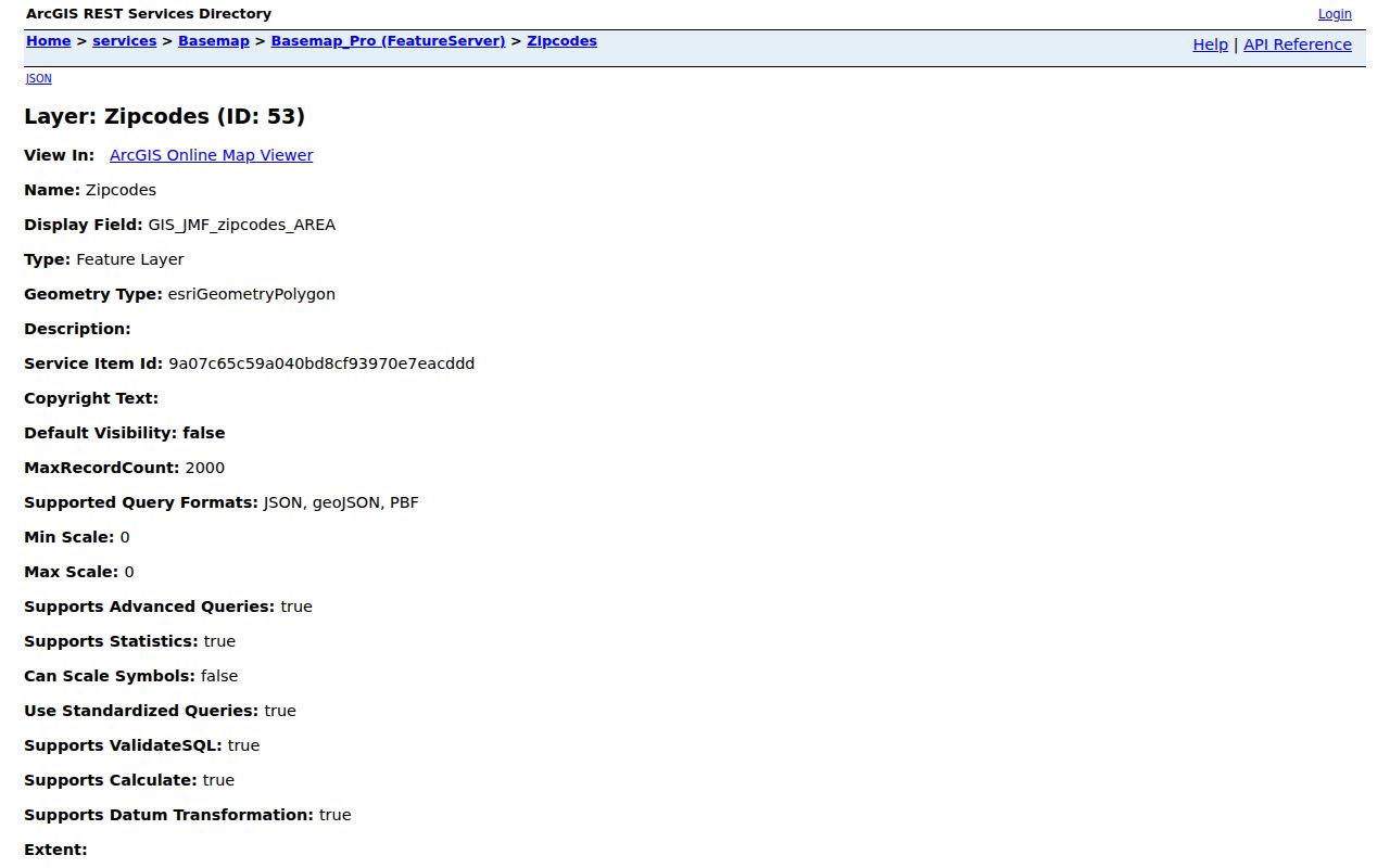
The separate 33313 shapes and small 33312 shape are map facts. They are not proof that every address in either full postal area belongs to Lauderhill.
Find Lauderhill Residents by ZIP
A ZIP narrows an area, but no researched public portal offers a one-click list of everyone living inside it. BCPA's simple property search has a City selector, not a ZIP field, and lists owners rather than all occupants. The state voter status tool is for a voter checking his or her own registration. Broward's public registered-voter file is a separate request product, not the self-lookup screen.
- Confirm a full deliverable address and postal code with USPS.
- Open GIS ZIP layer 53 and City Limits layer 54 to test the geography.
- Use the building-address or parcel layer to capture the correct polygon and folio.
- Carry the folio to BCPA when an owner record is relevant.
- Verify any person with a second source suited to the question.
Once the search reaches a named road, the Lauderhill by-street guide covers the official address-to-parcel chain in full. ZIP code directory work should stop at the ZIP scale instead of implying a postal polygon is a resident roster.
USPS Address Fields for Lauderhill
The USPS address lookup is the final authority among the researched tools for a standardized deliverable address and its ZIP. It does not settle whether the parcel is legally in Lauderhill. Enter the complete address rather than searching only the city name.
| Lookup input | What to enter | What it resolves |
|---|---|---|
| Street address | House number and street name | Delivery line |
| Apartment or suite | Unit when applicable | Secondary delivery detail |
| City | Postal city shown for the address | Mailing label, not city limit |
| State | Florida | State portion of the address |
| ZIP Code | Use when known | Confirms or corrects the postal code |
The screenshot shows the official address-to-ZIP route used for this check.
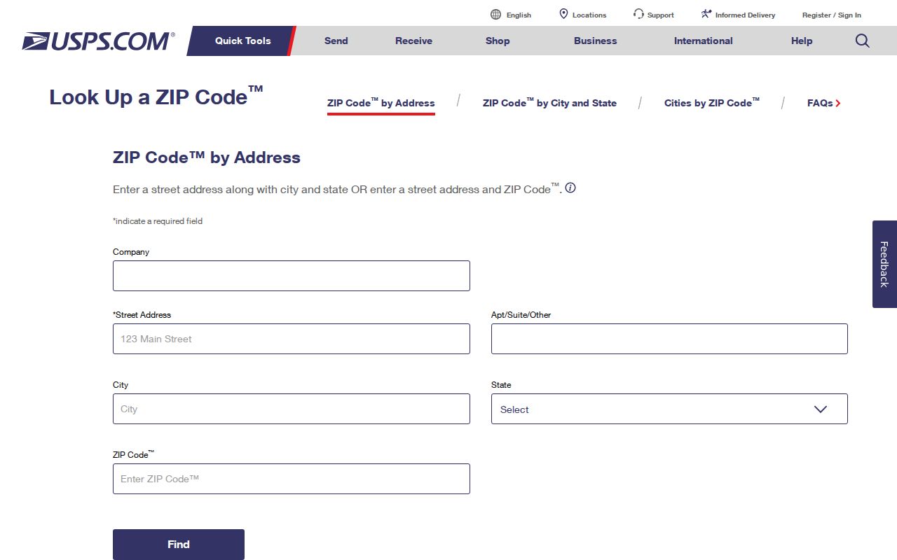
Carry the standardized result back to the city map when jurisdiction matters.
Lauderhill ZIPs and City Limits
A postal city and a municipal government answer different questions. An address may carry “Lauderhill” in its mailing line but sit outside the legal city. A parcel inside Lauderhill may use a neighboring postal-city label. The researched example is 33351, where nearby results may display Tamarac even though municipal mapping must still be checked.
This mismatch is why a ZIP code directory cannot define who is a city resident by itself. When a boundary matters for a record request, tax roll, permit, or city service, use the government boundary layer and the parcel's stable identifier.
Read ZIP Terms in Lauderhill
Several postal terms look alike but work at different scales. The definitions help prevent a broad ZIP search from being read as a precise address or city boundary.
- ZIP Code
- A USPS delivery area that may cross a municipal line and need not match a neighborhood.
- ZIP+4
- The five-digit ZIP plus four digits that narrow delivery to a smaller segment or high-volume destination.
- PO-box ZIP
- A code or use tied to post-office boxes rather than a map of homes.
- Unique ZIP
- A code assigned to one high-volume organization or destination.
- Carrier route
- A delivery path within a ZIP, not a legal district or resident list.
No researched source identified a PO-box-only or unique ZIP specific to Lauderhill. Those terms explain the system, but they should not be attached to one of the five mapped polygons without official proof.
33319 and Inverrary Postal Service
The verified facility in the research is the Inverrary Post Office, 6240 West Oakland Park Boulevard, Lauderhill, Florida 33319-9998. Its published retail hours are Monday through Friday, 8:30 a.m. to 5 p.m., and Saturday, 8:30 a.m. to 2 p.m. The local phone is 954-742-6522. Stations for the other four ZIP polygons were not verified.
The USPS facility image below documents the official source for those details.
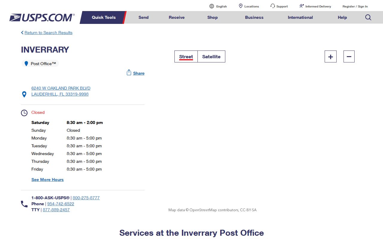
The station supports mail and ZIP verification. It does not define the Inverrary neighborhood, city boundary, or parcel ownership.
Lauderhill Folios Bridge Address Changes
City Engineering and GIS show why a folio is vital. Permit instructions require a folio number, work address, and current utility map before an application can proceed. The folio remains the parcel bridge when postal labels, street renderings, unit styles, or jurisdiction names change.
| Address concept | Meaning in Lauderhill records |
|---|---|
| Situs address | The physical parcel location used by BCPA and permitting |
| Mailing address | Where an owner receives appraiser or tax mail; it may be elsewhere |
| Legal description | Subdivision, lot, block, or metes-and-bounds identity used in deeds |
| Folio | The stable parcel key linking GIS, BCPA, and related files |
Engineering/GIS is at 5585 NW 19th Street, Lauderhill, and can be reached at 954-730-2964. Published hours are Monday through Thursday, 7:30 a.m. to 6 p.m.; it is closed Friday. This is the local fallback when a map or address label needs official context.
Older Lauderhill ZIP Geography
Lauderhill incorporated June 20, 1959, on land that included former dairy pasture. Inverrary developed as a planned community around 1970, while northwest single-family growth followed in the late 1970s. Older census, directory, deed, and newspaper searches cannot assume today's ZIP label or city name existed at the event date.
For pre-1959 material, try Fort Lauderdale, Broward County, the subdivision, an unincorporated place label, or an older postal route. Then use a plat, legal description, and folio to connect the old geography to a current parcel. This history is more useful than guessing at a ZIP split date, which the research did not establish.
What Lauderhill ZIP Results Prove
A matched ZIP proves a postal relationship to an address. It does not by itself prove city residency, current occupancy, property ownership, or household membership. BCPA can identify the recorded owner and mailing address, but that mailing address can differ from the situs. GIS supplies shapes and folios, not owners. Sunbiz may show a business or association filing address, not a person's home.
Use the Lauderhill ZIP code directory as a geographic first pass. Verify the address with USPS, compare the city boundary, then select the record that answers the real question. That disciplined sequence keeps a useful five-digit filter from becoming a claim the source cannot support.