
Lauderhill Neighbors by Block
A block search joins geography with public ownership and civic records. Lauderhill GIS supplies parcels, building addresses, neighborhood boundaries, association areas, ZIP polygons, and city limits. It does not supply owner names. Carry each parcel's folio to BCPA for the ownership record. Other sources can show past transfers, releasable voter presence, or an association's public contact, but none is a complete household roll.
| Source | What It Shows About a Block | Access |
|---|---|---|
| Lauderhill GIS parcels | Lot geometry, adjacency and folio | Free ArcGIS layer; no owner field |
| BCPA property roll | Owner, mail and situs addresses, exemptions and sales | Free portal; no occupant list |
| Broward voter file | Lawfully releasable registered-voter fields | $20 database request; self-tool cannot browse a block |
| Association layers | Public group name, boundary and contact fields | Free GIS; not a member roster |
| Acclaim Official Records | Prior ownership and recorded documents | Free index by party or parcel; era limits apply |
The key distinction is owner versus occupant. A situs address places the parcel. An owner mailing address is where BCPA sends correspondence and may be elsewhere. Homestead status can support owner occupancy for a tax year, yet it does not identify a spouse, child, renter, or other resident. A careful Lauderhill neighbors search labels the output as nearby owners unless another lawful source establishes more.
Recorded documents can extend the ownership trail but should not be the first block tool. Acclaim is organized around party names, parcel IDs, instruments, and book and page rather than a street roster. Use a BCPA sales pointer to retrieve the relevant deed. A mortgage signer, lien claimant, personal representative, or judgment party is not necessarily the present owner, so record the role and legal description before connecting the document to a parcel.
Lauderhill Neighbor Parcel Layer
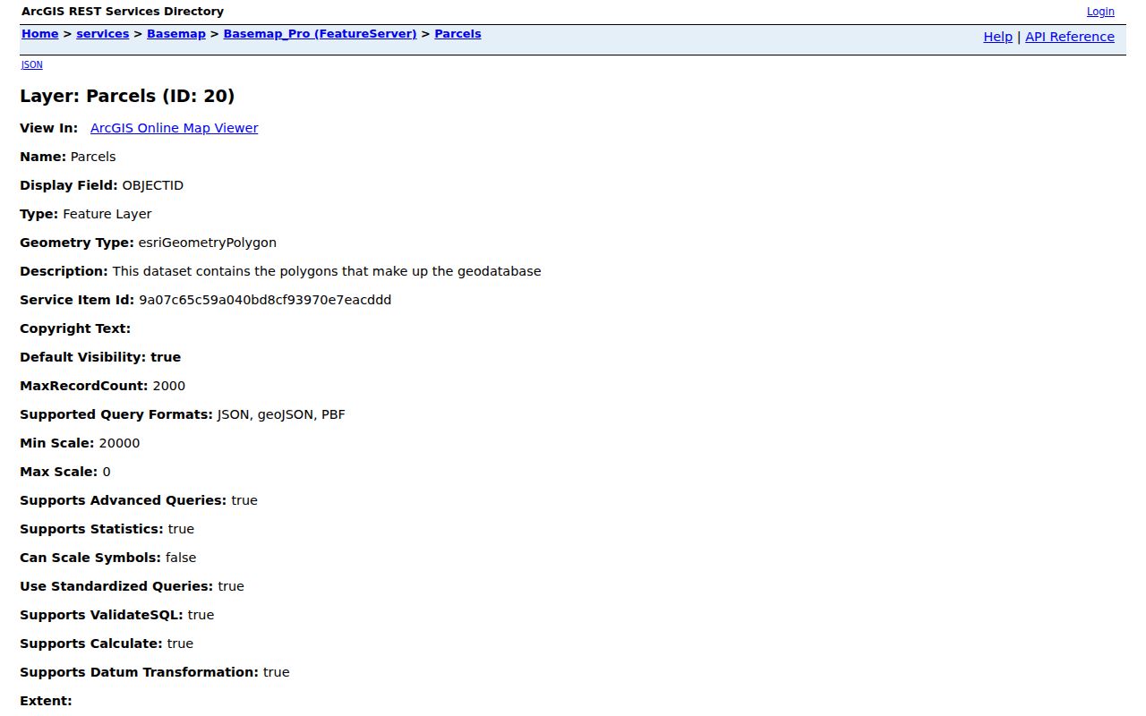
The official Lauderhill parcel layer exposes the parcel type, folio, object identifier, and polygon geometry. It supports spatial and distance queries as well as ordinary map clicks. The service can return up to two thousand records in one request, but a visual block search usually needs only the target polygon and parcels that share a side or corner.
The layer shown below is a geography tool. The absence of an owner field is deliberate and important. Move the folio into the BCPA Record Search to obtain the property card, then preserve the situs and mailing addresses as separate fields.
BCPA's combined field accepts an owner name, address, or folio, and its optional city selector helps prevent countywide false matches. A parcel card can show property use, legal description, assessed values, exemptions, sales history, building facts, and current owner data. Save the property ID and latest sales CIN or book and page. Those identifiers remain stronger than a street abbreviation when different systems render the same address in different ways.
The official parcel service shows the fields available for this handoff.
Lauderhill Neighbor Associations
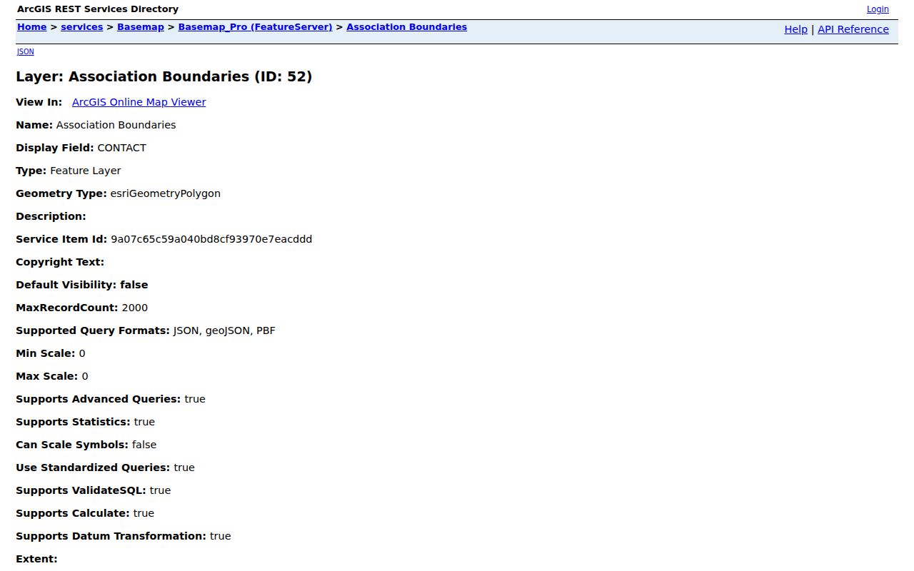
Lauderhill maps six broad civic or homeowner association areas. These boundaries help connect a block to a public organization, but they do not prove that a resident is a member. The live layer may include a place or association name, contact, address, city and ZIP, phone, email, and geometry. Contact values can age, so verify them against the current layer before reaching out.
| Mapped organization | What the record supplies |
|---|---|
| Northwest Homeowners Association | Public boundary and organization contact fields |
| Inverrary Association | Mapped association area, not household membership |
| Central Lauderhill Neighbors Association | Civic geography and public contact point |
| United Lauderhill Homeowners Association | Organization layer fields and boundary |
| Inverrary Homeowners Association | Association identity and mapped area |
| Broward Estates/St. George Civic Association | Public group record and geographic coverage |
The large-association layer is the official source for these names and fields.
Map Lauderhill Neighbors Nearby
Start with the exact property address, then move outward only as far as the immediate block requires. Enable the local layers together so a postal ZIP or neighborhood label is not mistaken for the city boundary. Condominiums, roads, common areas, and multi-parcel developments can make touching polygons poor stand-ins for separate homes, so inspect the parcel type as well as its shape.
- Open the Lauderhill Basemap and enable Parcels, Building Addresses, Street Names, Neighborhood or Association Boundaries, ZIP Codes, and City Limits.
- Find the target street, click its polygon, and record the folio. Repeat for parcels that share a side or corner.
- Search every folio in BCPA. Record owner, situs, mailing address, exemption, legal description, and sales pointer without treating them as an occupant list.
- Use a sales CIN or book and page in Acclaim only when prior ownership is relevant. Keep the search limited to the immediate block.
The process is address to polygon, polygon to folio, folio to BCPA owner, then sales pointer to deed when needed. For a complete named-road chain rather than the nearby block, use the Lauderhill street directory.
Detailed Lauderhill Neighborhood Records
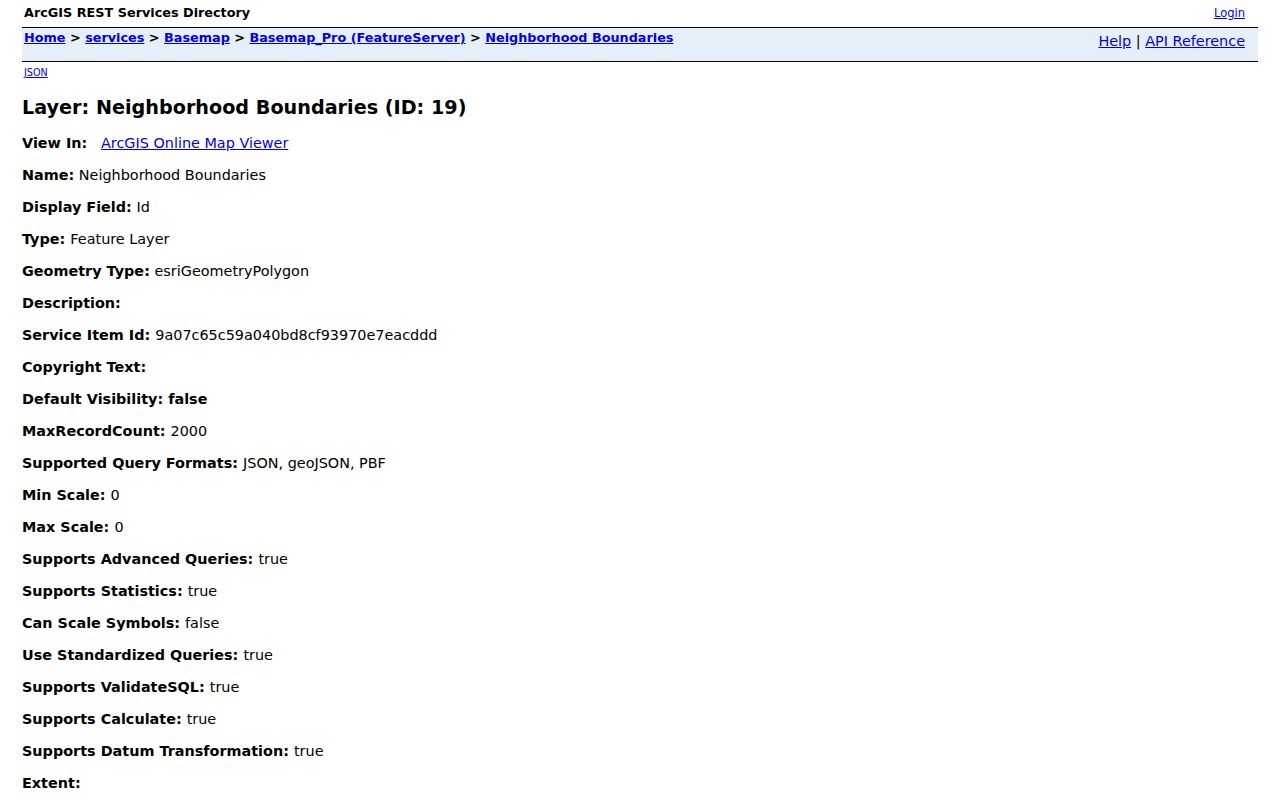
The city's separate Neighborhood Boundaries layer contains more than one hundred mapped developments and associations. Examples include Springdale Lakes, Cascades of Lauderhill, Boulevard Woods, Estates of Inverrary, West Inverrary Neighborhood Watch, La Mirage, Sienna Ridge, Environ phases, International Village, Castle Gardens, Cypress Grove, West Ken Lark, Forest Lakes Estates, and Inverrary Gardens. This finer grain is useful when the six broad association areas are too large.
Use a mapped name as a search term in minutes, planning files, local news, or Sunbiz. Sunbiz can search by street or ZIP and may reveal a condo, civic, or homeowner corporation plus officers and annual reports. Those filings document the entity and its registered roles. They do not list all Lauderhill neighbors or establish that anyone at the address belongs to the group.
The detailed neighborhood layer preserves the live development names and boundaries.
Lauderhill Neighbor Voter Data
Florida's registration-status screen is meant for a voter checking their own record. It requires first name, last name, full date of birth, an acknowledgement, and verification. It cannot take a Lauderhill street and return everyone registered there. A missing self-check may reflect spelling, a recent update, birth-date mismatch, inactive status, protected status, or nonregistration. It does not prove nonresidence.
The Broward Supervisor of Elections data-request channel is the proper route for a lawful public extract. A registered-voter database search costs $20, with separate delivery and labor charges where applicable. Ask whether the production system can scope the file to Lauderhill, a precinct, or street criteria. Ordinarily public fields can include name, residence, date of birth, party, phone, and email, while protected identifiers and preregistered minors remain confidential. Participation history shows elections voted, never ballot choices.
Note: The voter self-lookup is not a neighbor directory; block-level work requires the Broward public-record request process.
Official Lauderhill Neighbor Records
Commercial neighbor tools often blend old addresses, inferred relationships, and copied public data. Official rolls are narrower but clearer about custody, fields, and correction. Neither category should be treated as a complete statement of who occupies a home.
| Source type | Strength | Limit |
|---|---|---|
| City GIS and BCPA | Current parcel geography and assessed owner record | No renter or household-member roll |
| SOE public extract | Custodian-produced releasable voter fields | Only registered voters; exemptions apply |
| Association and Sunbiz records | Public civic boundaries and entity roles | Not a private member list |
| Commercial compilations | May collect many address clues | Can merge names, retain stale data, and obscure source dates |
For a wrong official field, contact the agency that keeps it. Removing a commercial listing does not alter a BCPA parcel, voter file, deed, court record, or Sunbiz filing.
Privacy for Lauderhill Neighbors
Public block tools leave major gaps by design. Utility and delivery accounts, DMV addresses, renters, children, and association membership are not open neighbor directories. Florida's Address Confidentiality Program supplies eligible victims of domestic violence or stalking with a substitute address. Certain occupational and victim exemptions can suppress other public fields. Protected voters may therefore be absent from a released file.
Florida stalking and cyberstalking law covers repeated malicious following, harassment, certain electronic conduct, and unauthorized access to online or connected-home systems. Public access never grants permission for unwanted contact. Use block records for civic curiosity, reconnection, personal safety awareness, or correcting one's own record, and stop where another person's privacy begins.
Lawful use. Lauderhill neighbor records support lawful personal and civic research. Never use them to watch, stalk, harass, intimidate, or harm another person.